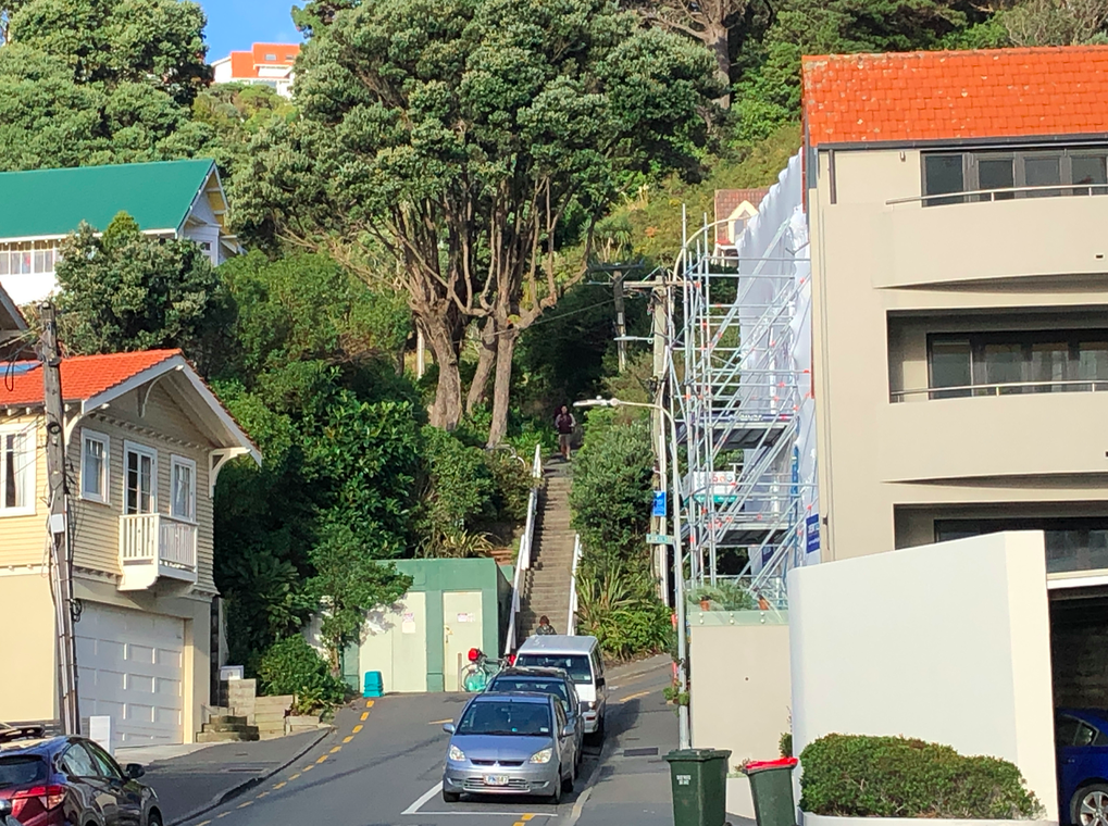
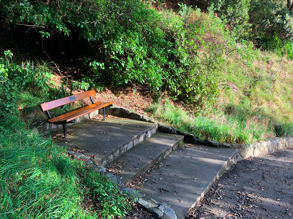
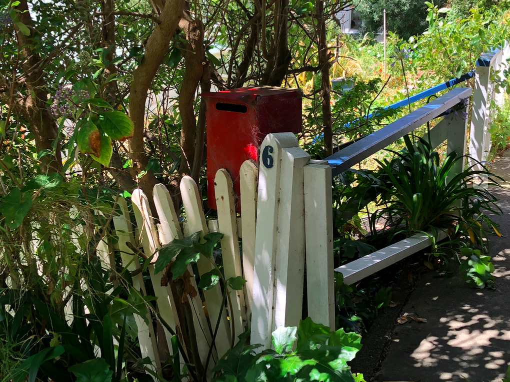
FIND THESE STEPS – Although Hawker Street itself isn’t a step street, several streets off it are. Hawker is at the top of the zig-zag of Oriental Terrace, and the street ends at Majoribanks, near the Embassy Cinema.

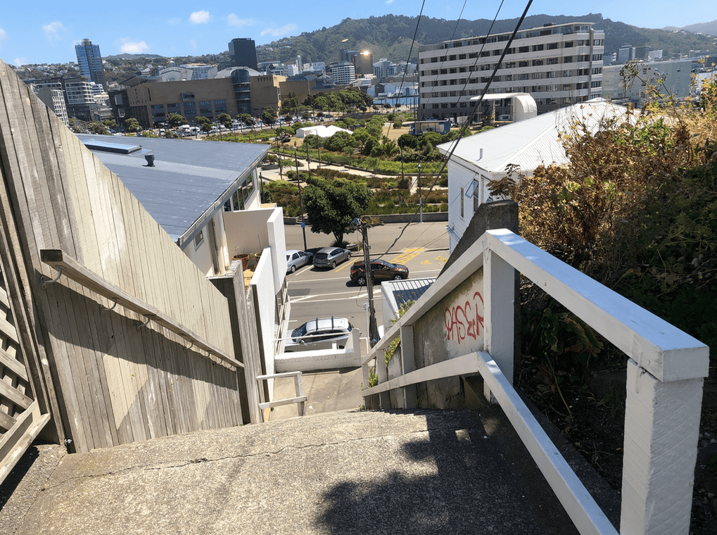
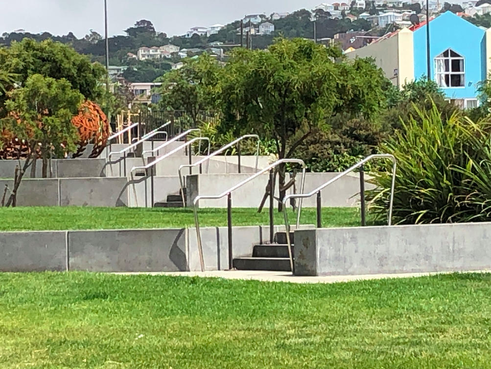
Looking down Hawker Street, toward Marjoribanks. The steps are arranged along the left going down the hill.
According to Ms Irvine-Smith, Hawker Street is named ‘either after Mr C. C. Hawker, a Cornish supporter of the [Wellington] Company, or the Rev. R. S. Hawker, another English colonising enthusiast.’ – a rare instance of Ms Irvine-Smith’s uncertainty about the history of Wellington’s streets and their names. (Irvine-Smith, Streets, page 62).
Hawker Street becomes Moeller Street at this point, and that street was named for Philip Moeller, who held the license for the Occidental Hotel.
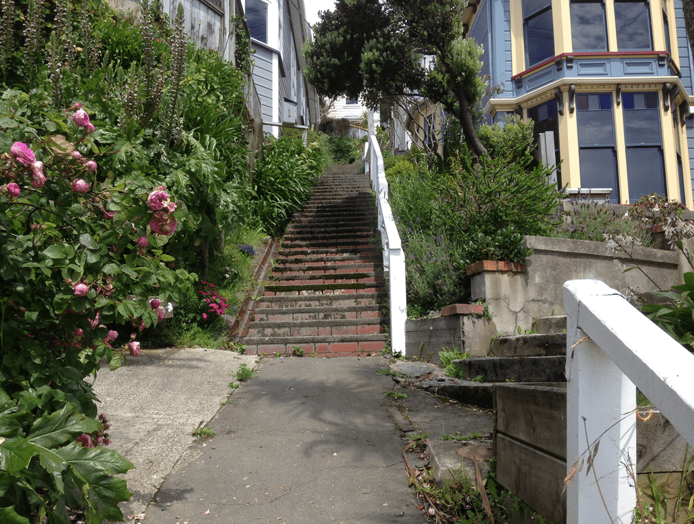
Saint Gerard’s Catholic Church steps
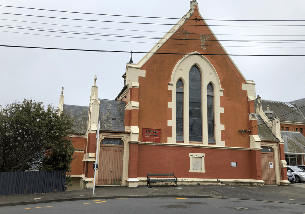 St Gerard’s Church was built in 1908, the monastery in 1932. It is now owned by the ICPE mission (Institute for World Evangelisation.


The steps begin just to the left of the doors.


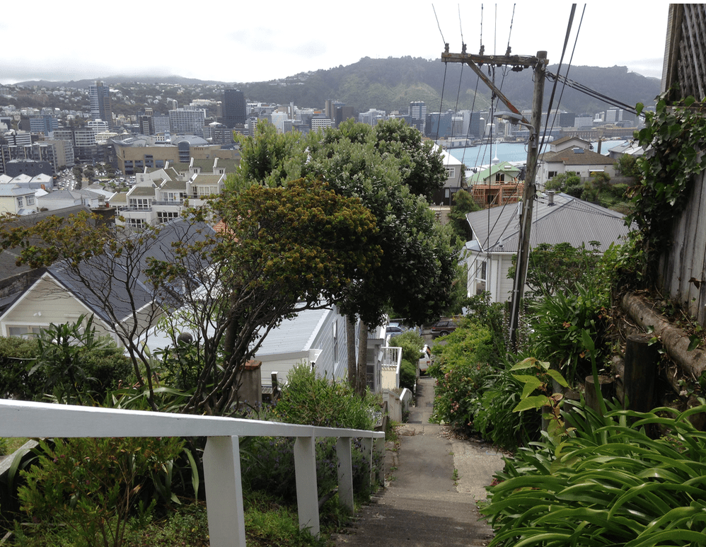
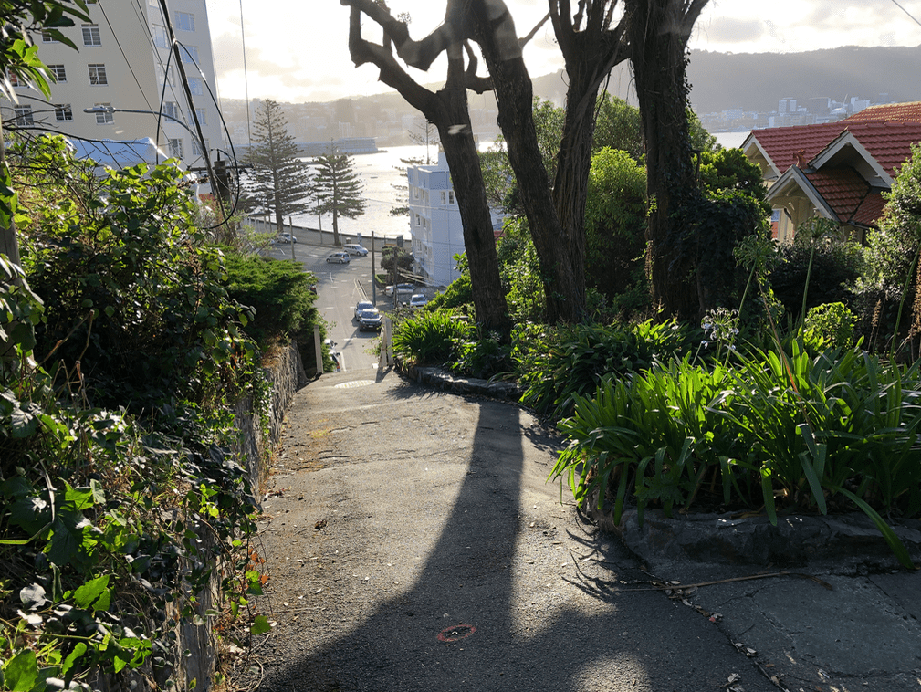
The view from the bottom of the steps, standing on McFarlane Street. Nice.
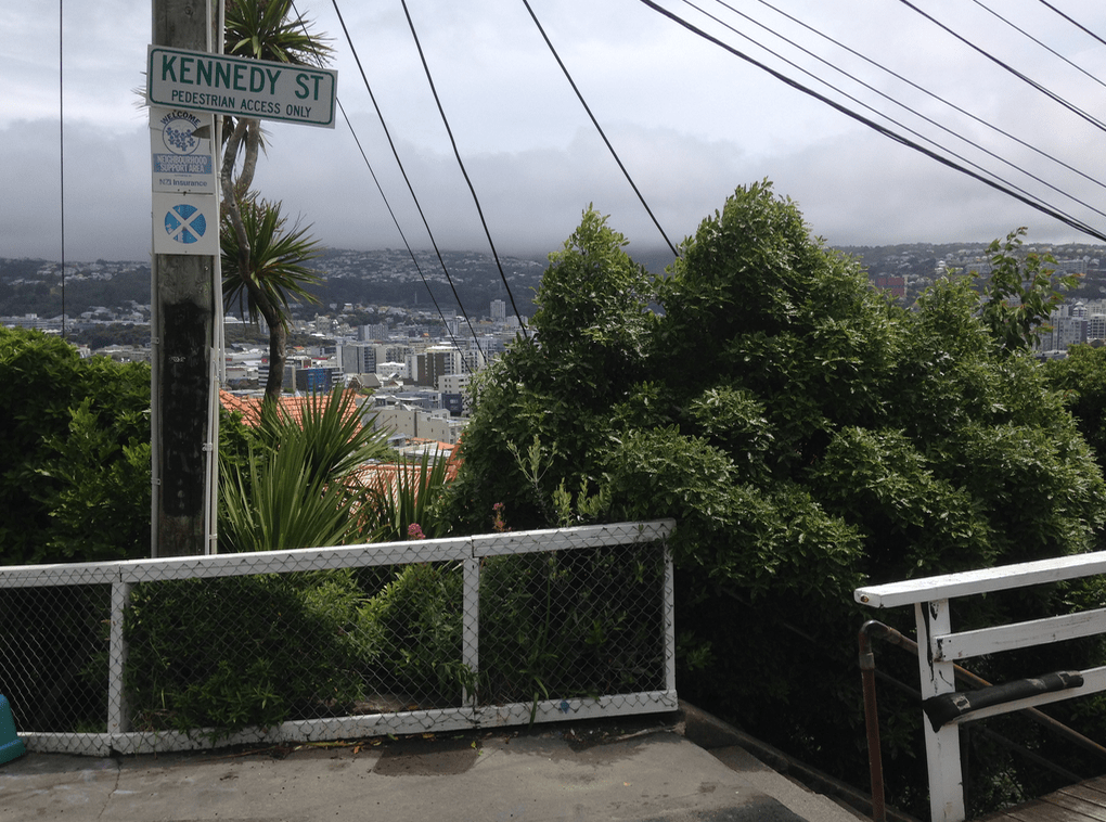
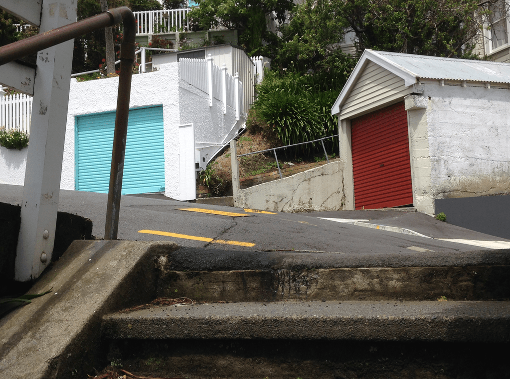
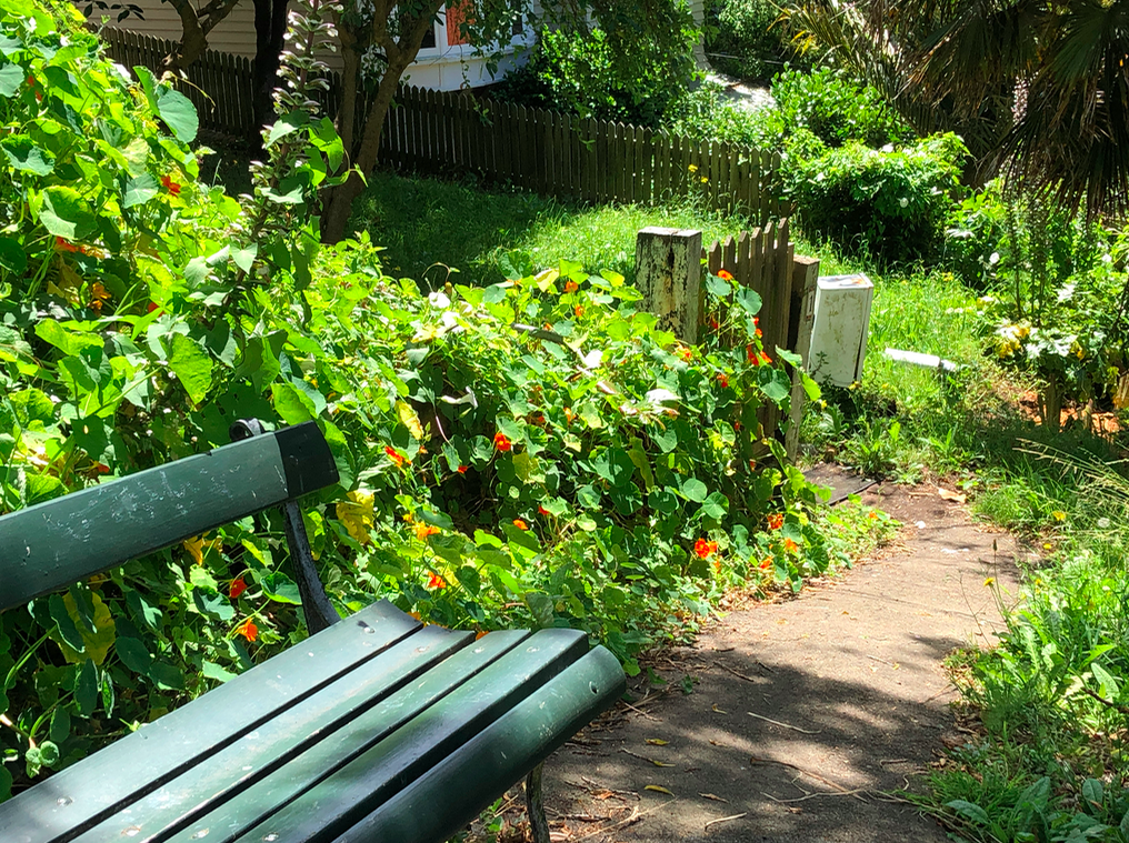
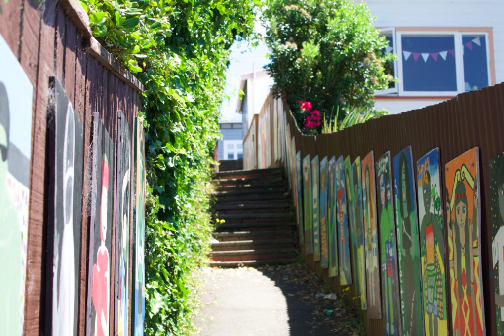
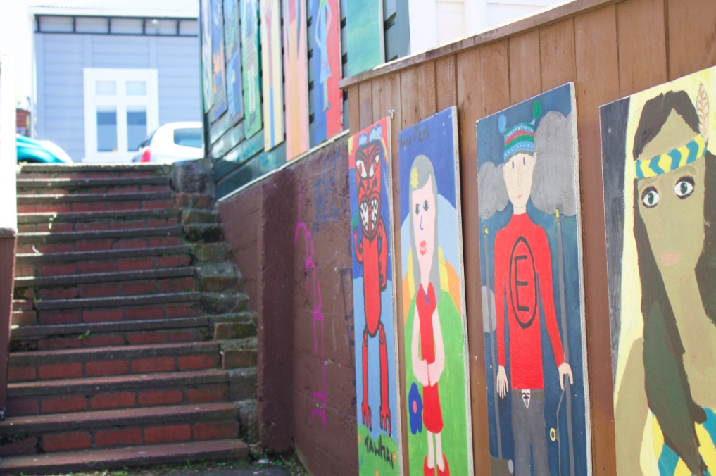
Kennedy Street

Kennedy Street is a set of stairs at the bottom, then becomes a pathway zig-zag, then another set of stairs to the top.


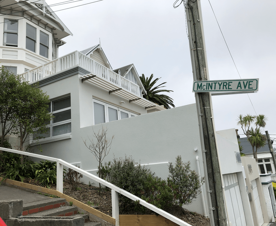
McIntyre Avenue
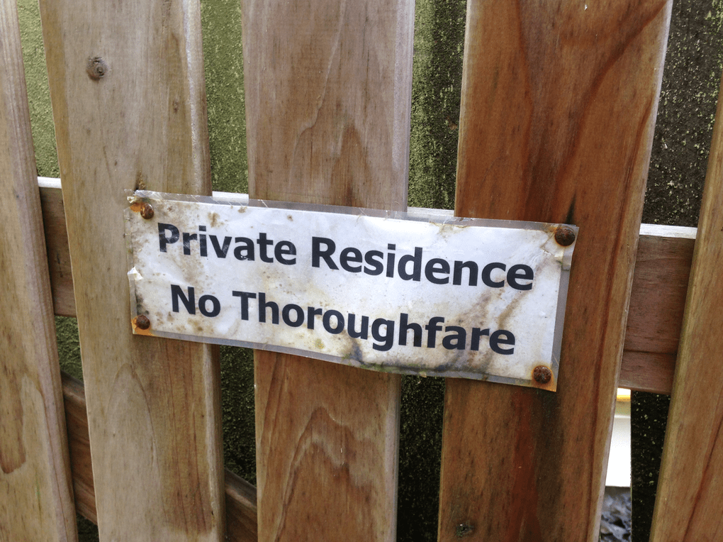
The steps end at a private residences, not onto another street.


Doctors Common

This street merits a special mention and its listing in the Wellington City Council heritage report is descriptive:
‘This area shows how demand for land close to the city at the turn of the 20th century drove the construction of houses in steep and awkward terrain, a common theme in Wellington’s development but taken to something of an extreme at Doctors Common.’ (Mount Victoria Heritage Study report to the Wellington City Council, 2016 – 2017, Appendix 4, at page 25)
The paper notes that notable Wellingtonians who have lived in the area were Wellington Mayor Frank Kitts, writer Pat Lawlor, and activist Catherine Kelly and husband, Pat, and their daughter Helen, both, a couple of decades apart, at the head of the Council of Trade Unions.
The last house built here was in 1904, although many have had extensive renovations.
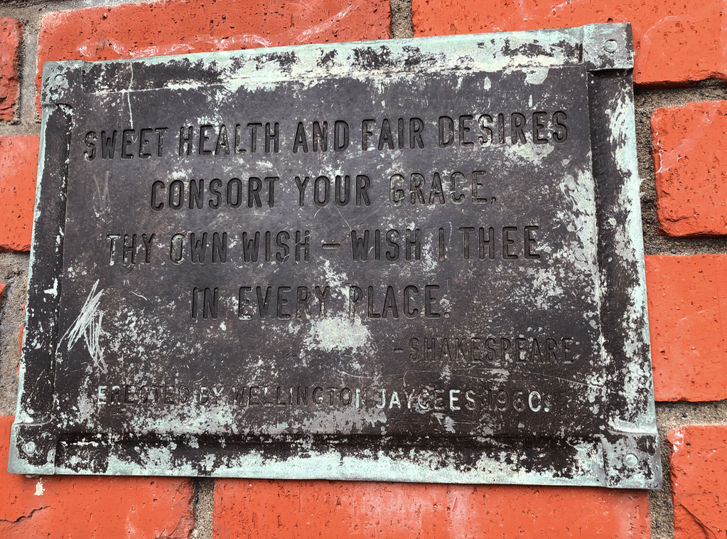
Ms Irvine-Smith notes that the steps were named for colleges of law in London, and at the time of her writing ‘The Streets of My City’, the legal work had been transferred to the Strand, “and Doctors Commons in London survives in Name only.” (at page 62).


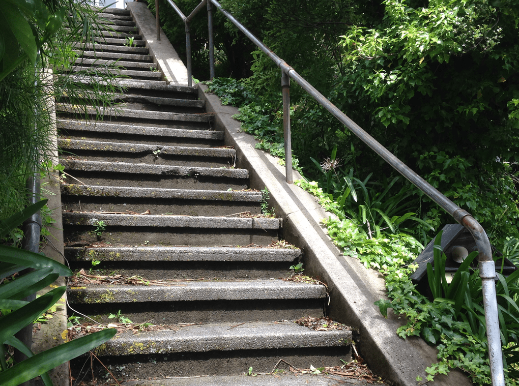
Vogel Street Steps


 Steps to the Wakefield Memorial, with Mt Vic tunnel behind you.


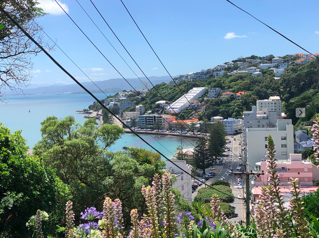
 The view from Oriental Terrace, with St Gerard’s Church on the right.
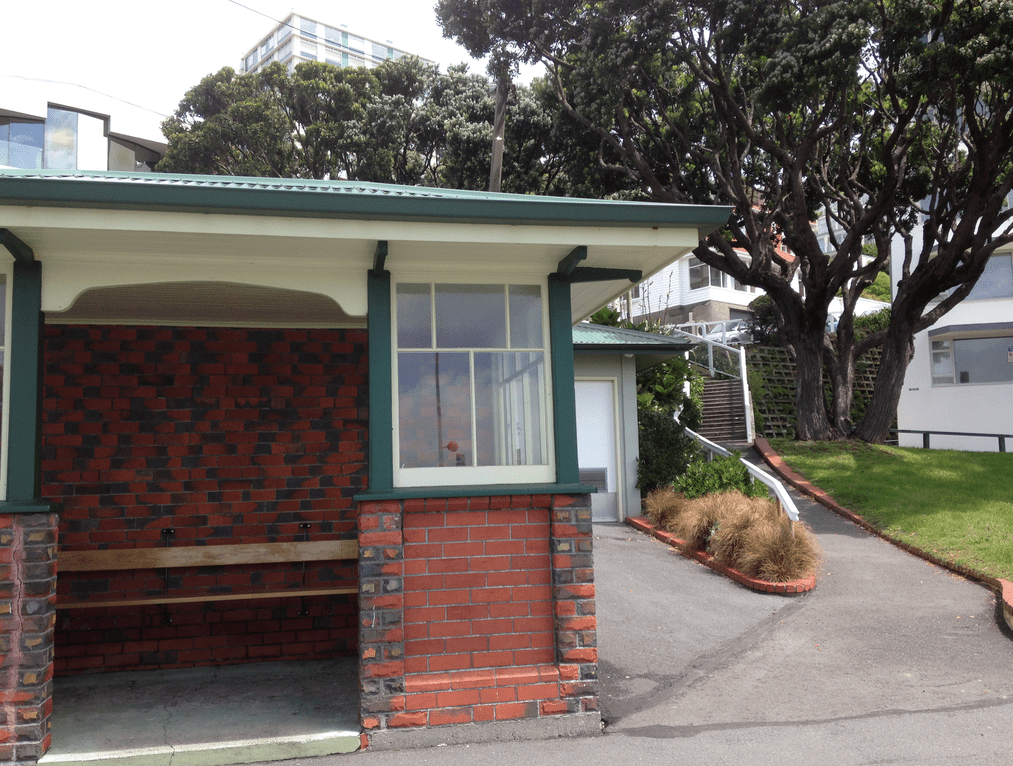


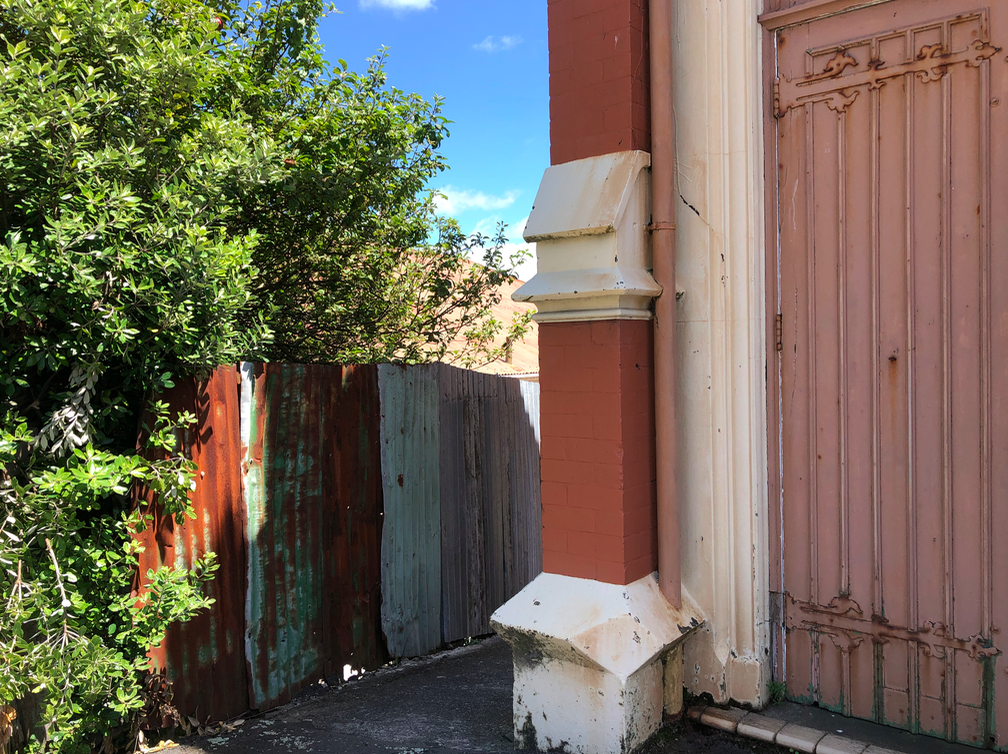
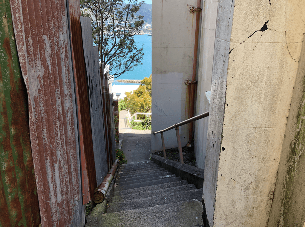
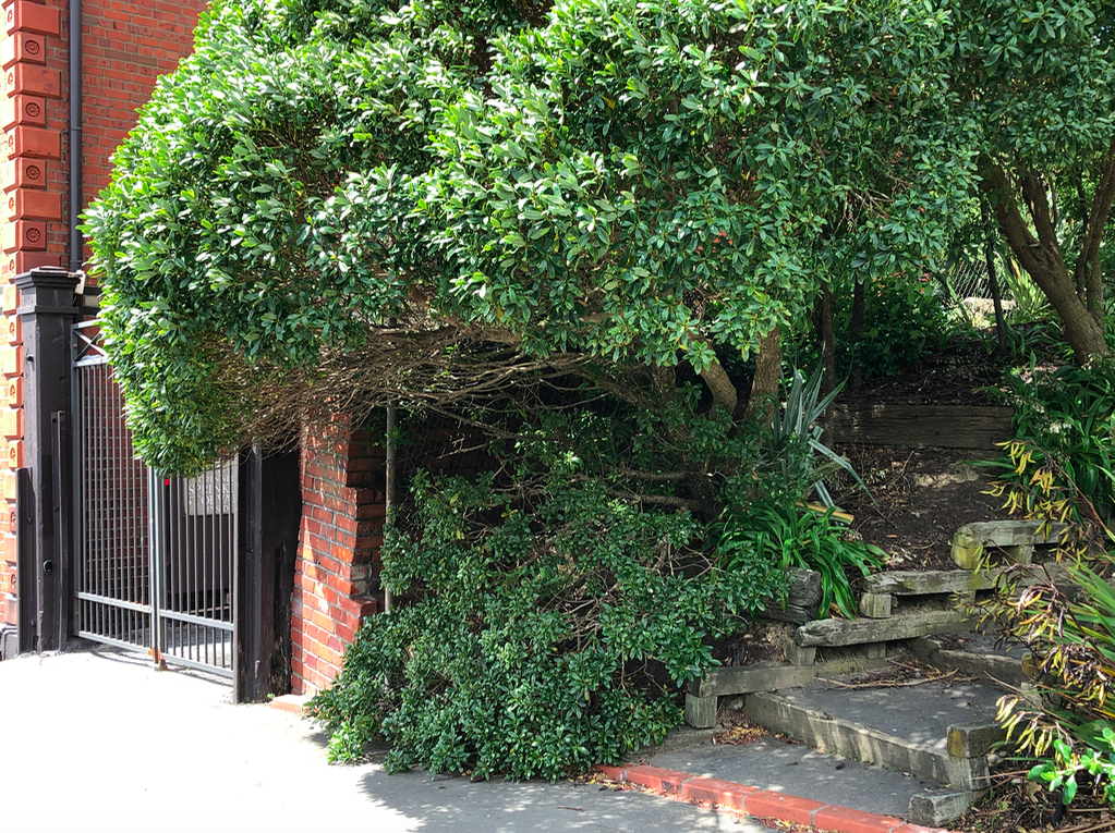
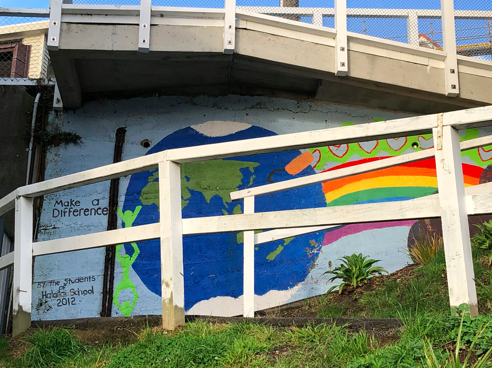
 Bit of a scruffy underside to St Gerard’s church.
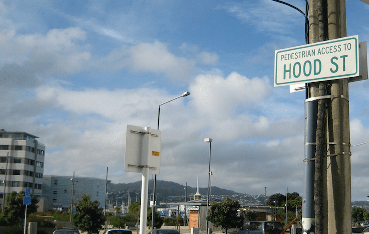
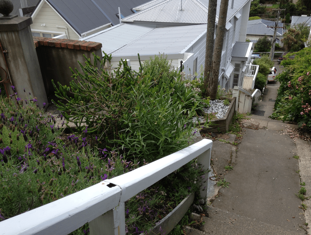
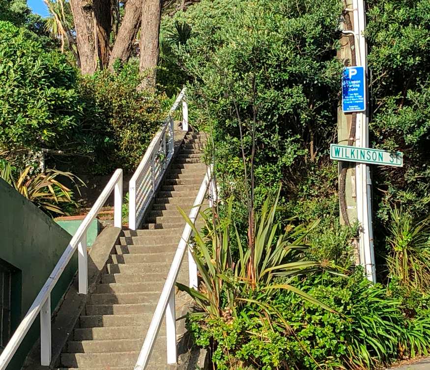
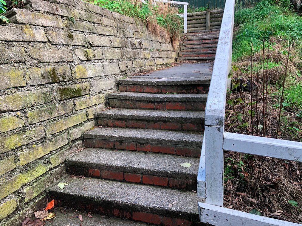
 At the Top of the stairs – looking down Hawker Street, toward Marjoribanks Street; Moeller Street intersects at the left. The succession of step streets are on the left going down the hill – Kennedy, McIntyre, Doctors Common, Vogel.
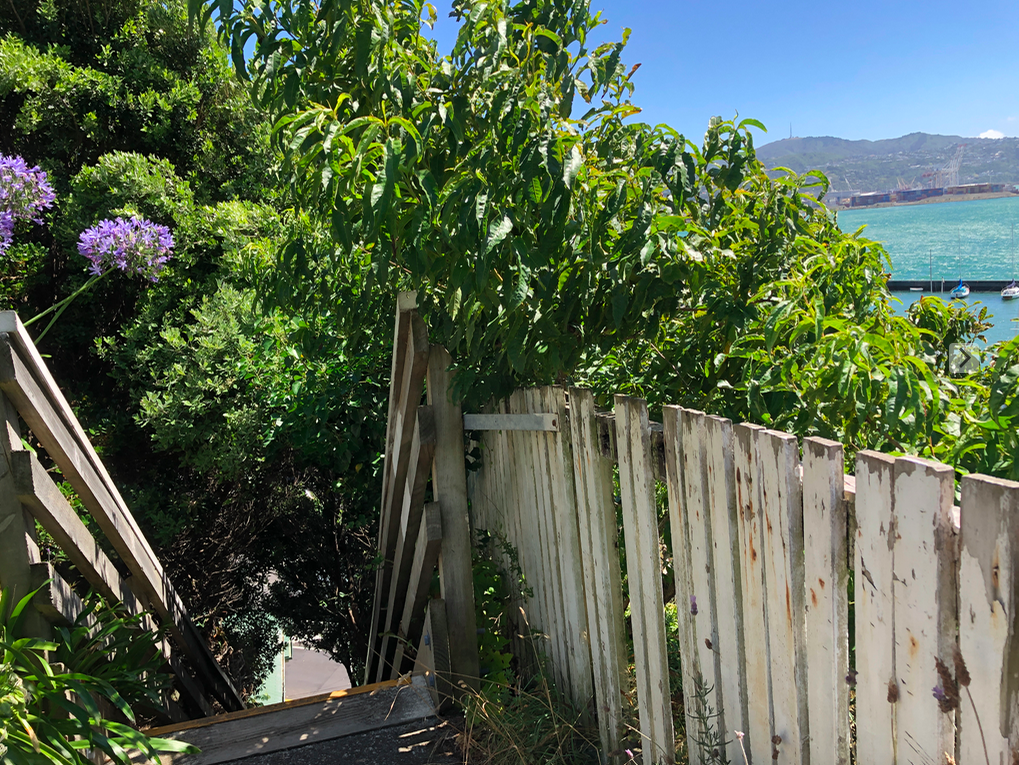
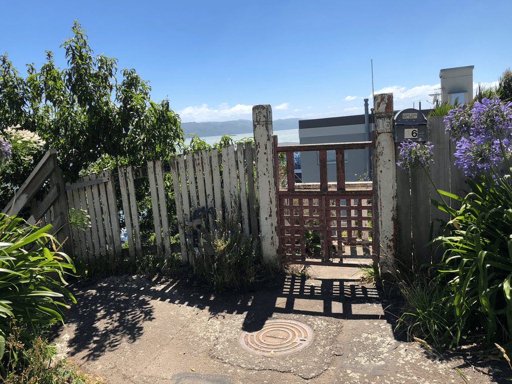
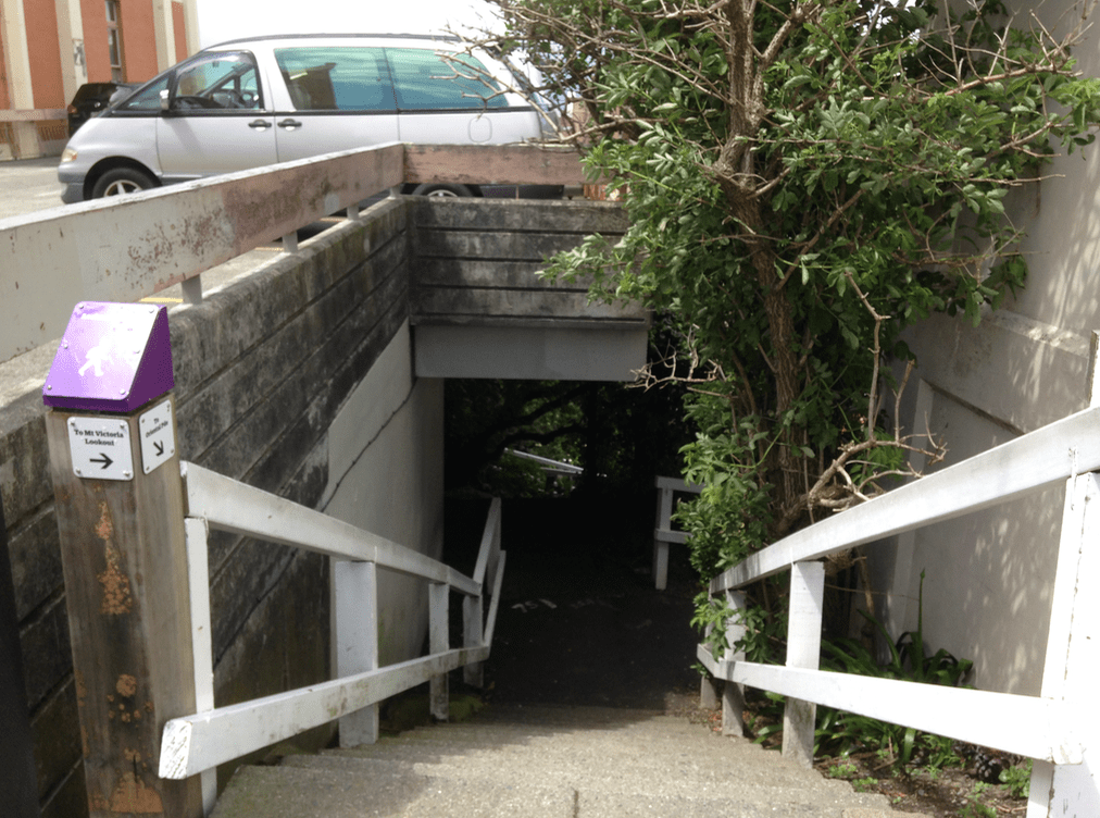 The not-very-flash entrance to Oriental Terrace zig-zag, from Hawker Street.
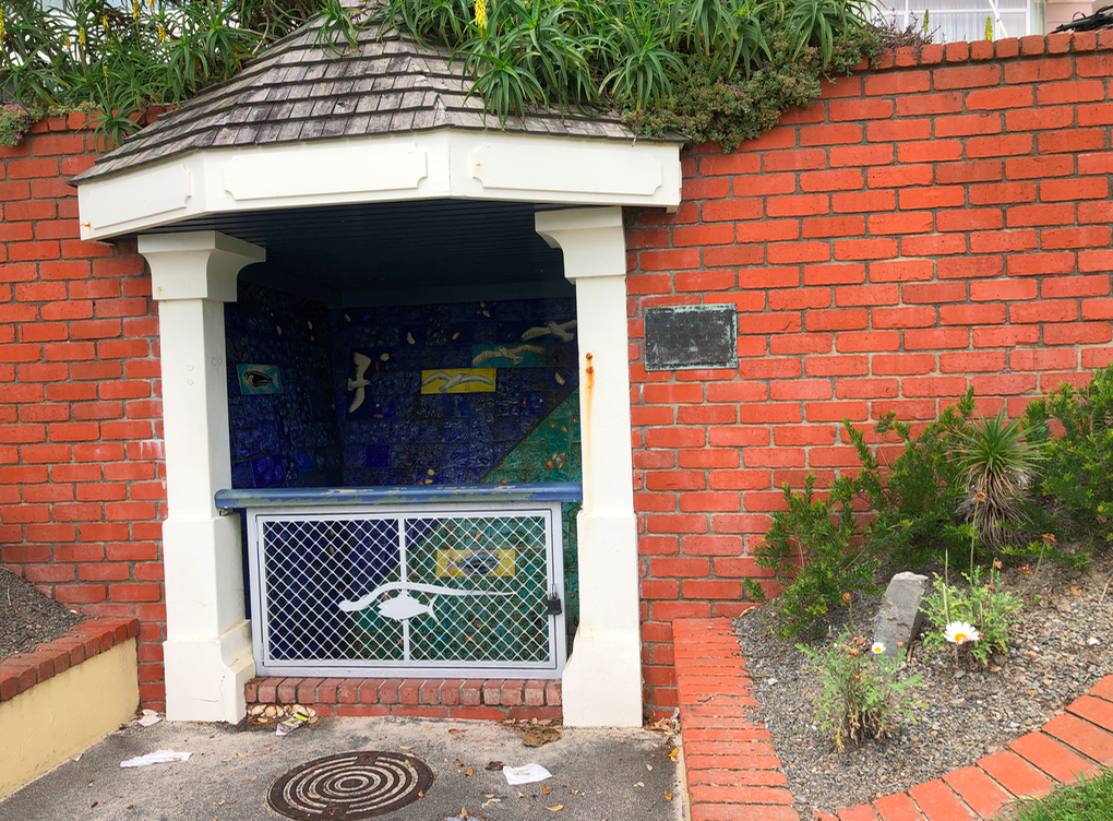
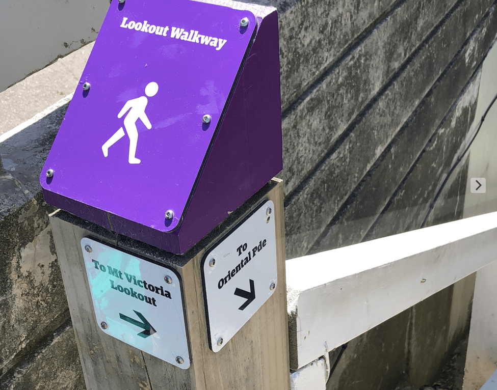
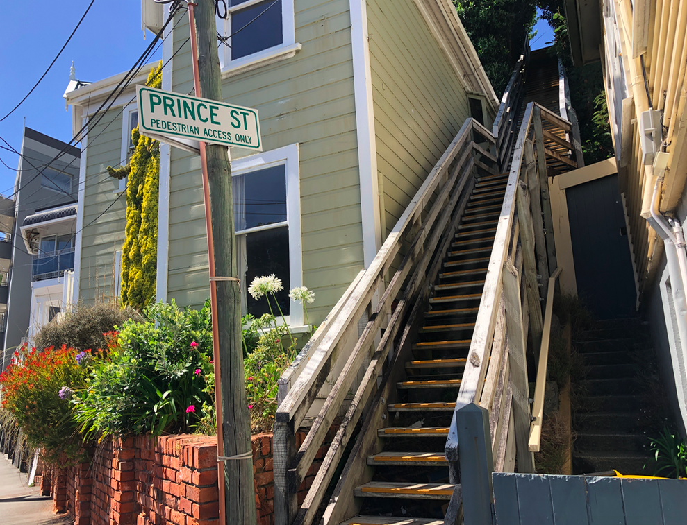


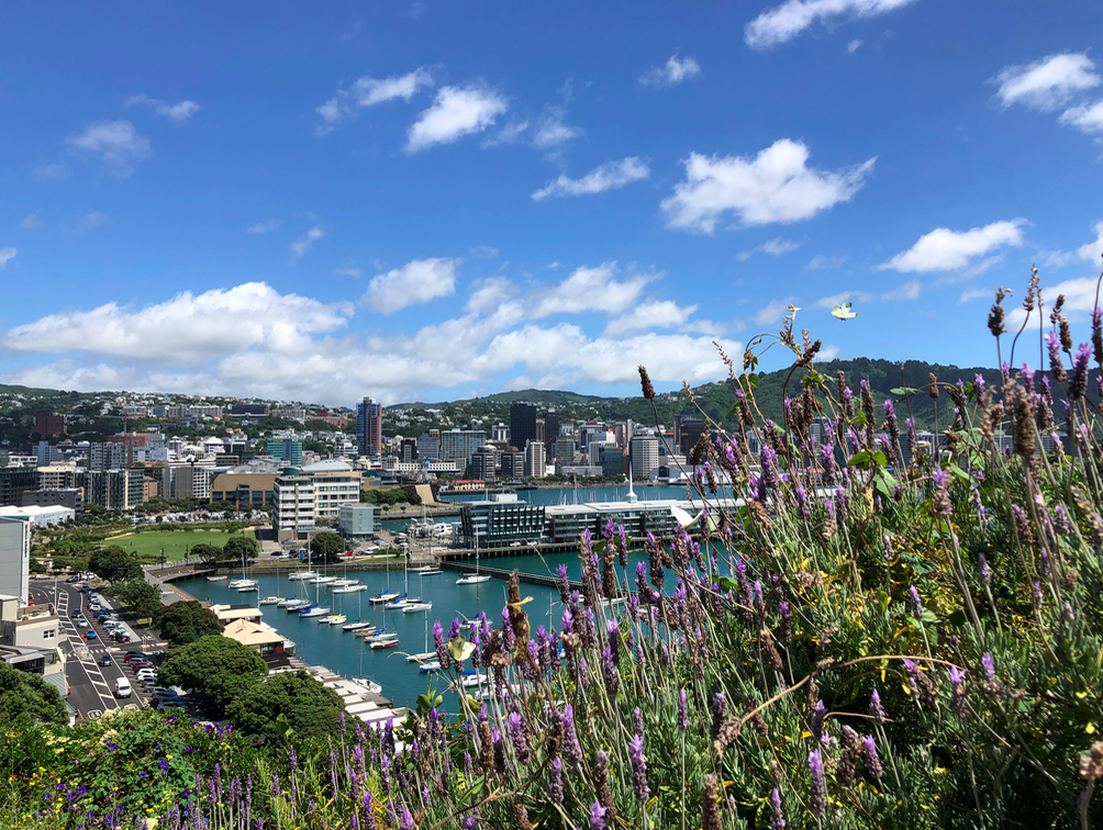
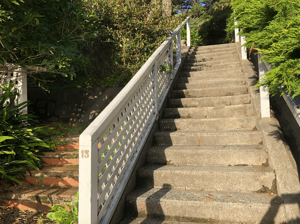
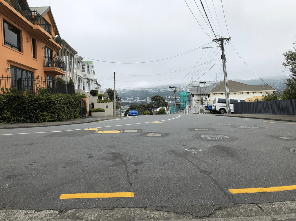
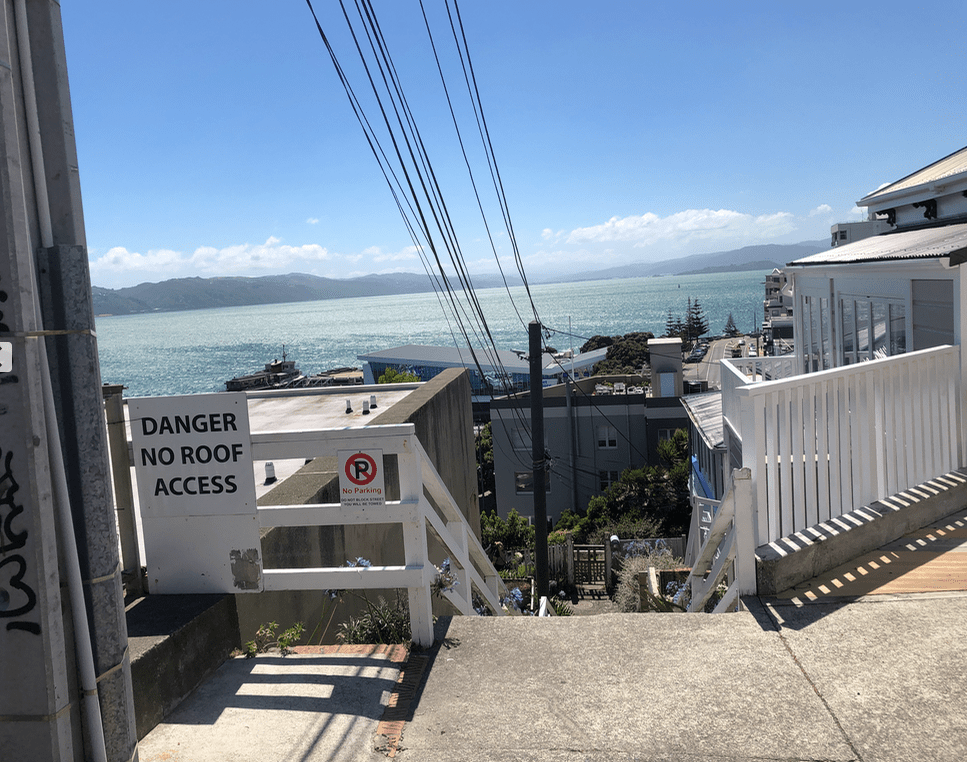 From the top, standing on the somewhat flat portion of Prince Street.
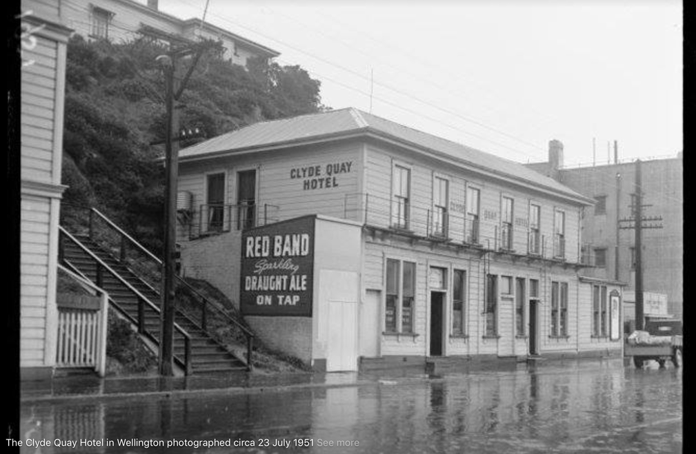 As it was in 1951. (The source for this photo is unknown to me – it is off the internet.)